I recently returned from a dream trip (I call it a trip, rather than a vacation because I was constantly on the go) and took a lot of photos. Now that I’m back home I can’t seem to remember exactly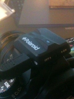 where all the photos were taken. Sure I remember where I was, but after the second day, all the temples began to look the same; and that’s where geotagging comes in.
 Geotagging photos is realatively new, but where it comes from, Global Positioning System, or (GPS) isn’t. In fact, the GPS project was started in the early 1970, and wasn’t fully realized and operational until 1994 when the Department Of Defense (DoD) stepped in.
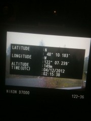
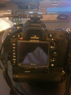
So, where does all this fit in with travel photos? Had I had a GPS connected to my Nikon D7000, I would have been able to tag all my photos with information such as, latitude, longitude, elevation, time, date, etc. It really depends on the GPS module that you are using as to what information will be given. Chances are also likely that you have it on your SmartPhone, and didn’t even realize it, other than to find your direction.
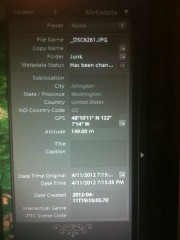
Just as an example, photos taken with my iPhone can be tagged with GPS information as long as I have it enabled in my settings.
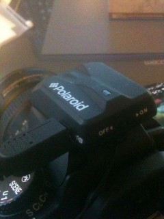
So, after saying all of that, I found online at Amazon (you can shop from this site) the Polaroid DSLR GPS receiver which I bought for around $45. This GPS came with a lanyard, GPS module, and a tethered shutter release leaver. (The latter is not needed for the GPS, it’s just something extra the give).
It was so simple to use. All I had to do was plug in the provided USB to GPS connection cord on my D7000, and turn on the GPS module. That was it. And in a matter of about 10 seconds, the GPS received the satellite information and I was on my way to tagging all my photos. One thing to remember, is that the GPS module uses power which comes from your camera battery so wise if you plan on having it on all of the time, other wise be sure to have a spare battery  with you.
Once the photos are tagged, they can be uploaded to your computer and from there the tagged photos can be automatically mapped on any number of mapping services and programs like; Lightroom 4, Google Earth, SmugMug, and others.
Here are a few samples of what you can expect to see with a basic GPS module like the one I bought. Oh, and I won’t be leaving home without it. It can even map your travel using the time stamp from the photo’s GPS information. Now how cool is that!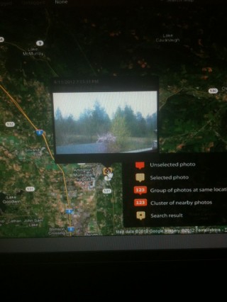
Before I forget to tell you, the model number of this GPS module for Nikon’s and Fuji cameras (you’ll have to check and see if your specific camera will work with this) is the PLGPSN. I recommend this as a buy!


